by McDave » Sat Mar 02, 2019 10:50 am
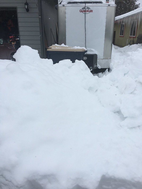
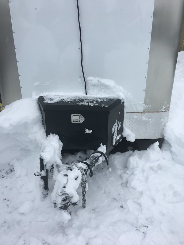
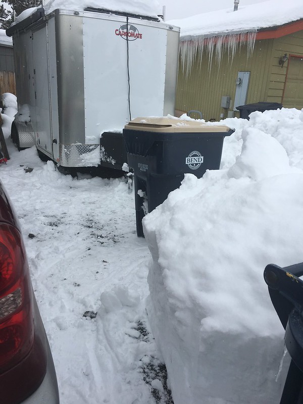
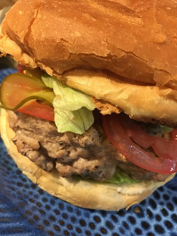
Throw some Hatch Green Chile on there and I'll have 2. I like the way looks as far as a well dressed sandwich. I'm guessin' you probably can't find your BBQ out in the snow ? Well, if you are getting the same early spring that we are.....(I hate that lyin' groundhog) you might have to improvise. DO NOT USE THE WIFES CLOTHES DRYER AS A BBQ. I can't state this strongly enough... They have different priorities and cannot be reasoned with, just sayin'..
On the plus side, winter can't last forever. (Can it?)
URGENT - WINTER WEATHER MESSAGE
National Weather Service Billings MT
759 AM MST Sat Mar 2 2019
Southern Wheatland-Musselshell-Treasure-Northern Rosebud-Custer-
Fallon-Northern Stillwater-Yellowstone-Powder River-Carter-
Southern Big Horn-Eastern Carbon-Northern Park-
Northern Sweet Grass-Golden Valley-Red Lodge Foothills-
Northern Big Horn-Southern Rosebud-Paradise Valley-
Livingston Area-Beartooth Foothills-Sheridan Foothills-
Including the locations of Harlowton, Twodot, Shawmut, Roundup,
Melstone, Musselshell, Hysham, Bighorn, Colstrip, Forsyth,
Ingomar, Angela, Miles City, Ismay, Volborg, Baker, Plevna,
Webster, Columbus, Absarokee, Park City, Rapelje, Billings,
Laurel, Huntley, Pompeys Pillar, Custer, Broadview, Broadus,
Biddle, Powderville, Sonnette, Ekalaka, Alzada, Hammond,
Belltower, Lodge Grass, Pryor, Wyola, Bridger, Joliet, Fromberg,
Belfry, Warren, Clyde Park, Wilsall, Big Timber, Melville,
Ryegate, Lavina, Red Lodge, Roberts, Roscoe, Hardin, Crow Agency,
Busby, Lame Deer, Ashland, Birney, Emigrant, Livingston,
Springdale, Fishtail, McLeod, Nye, Sheridan, Dayton, Ranchester,
Big Horn, and Story
759 AM MST Sat Mar 2 2019
...WIND CHILL ADVISORY REMAINS IN EFFECT UNTIL NOON MST MONDAY...
* WHAT...Frigid wind chills expected. Wind chills as low as 40
below zero.
* WHERE...Portions of North Central Wyoming and Central, South
Central and Southeast Montana.
* WHEN...Until noon MST Monday.
* ADDITIONAL DETAILS...The dangerously cold wind chills could
cause frostbite on exposed skin in as little as 10 minutes.
Expect winter driving conditions due to slick roads.
PRECAUTIONARY/PREPAREDNESS ACTIONS...
A Wind Chill Advisory means that cold air and wind will combine
to create low wind chills. Frostbite and hypothermia can occur if
precautions are not taken.
Detailed Forecast
Today
A 30 percent chance of snow, mainly before 8am. Patchy blowing snow before 8am. Cloudy, then gradually becoming mostly sunny and cold, with a high near -5. Wind chill values as low as -30. North northwest wind 8 to 11 mph. Total daytime snow accumulation of less than a half inch possible.
Tonight
Mostly clear, with a low around -29. Wind chill values as low as -50. North northwest wind around 7 mph becoming west after midnight.
Sunday
Sunny and cold, with a high near -4. Wind chill values as low as -50. West wind 9 to 14 mph.
Sunday Night
Mostly clear, with a low around -18. Wind chill values as low as -40. West wind 11 to 13 mph.
Monday
Mostly sunny and cold, with a high near 6. West wind 9 to 16 mph.
Monday Night
Partly cloudy, with a low around -5.
See there, Monday looks pretty darn nice. I probably won't need to mow the lawn just yet, but soon!
McDave

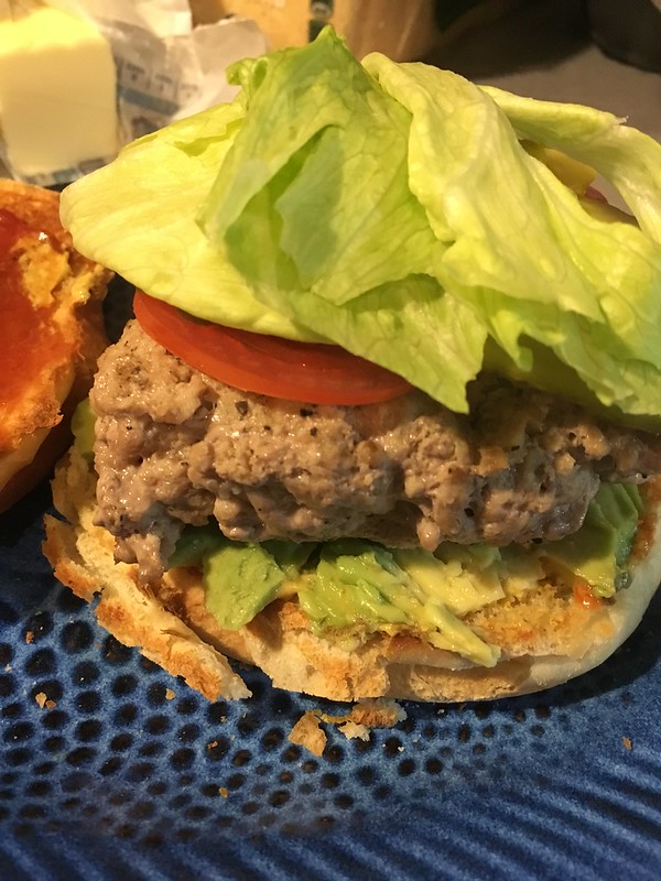
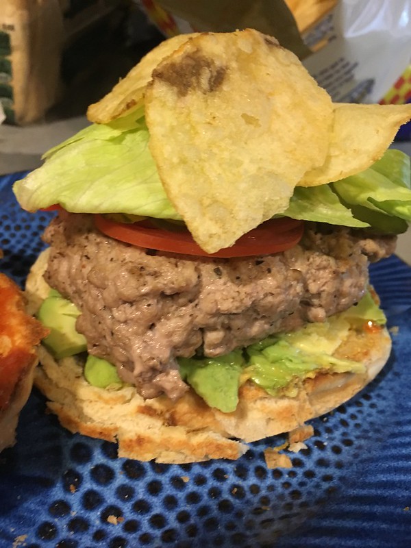
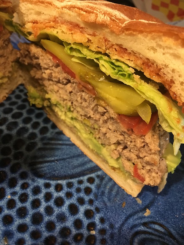


 , look kinda pale to me
 jokin' with ya, but I'd rather have a beef burger.